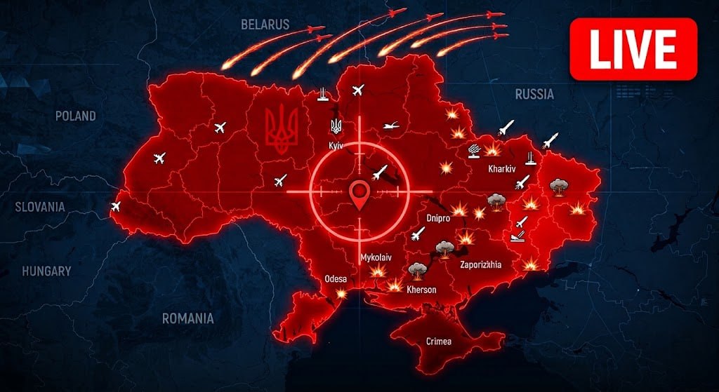
On October 7, 2026, an online map displaying information about drones and missiles was launched in Ukraine. This resource is created to ensure the safety of citizens and facilitate prompt responses to threats.
What is the online map of drones and missiles?
The online map, available at prostir_ukraine.ua, allows users to track the movements of unmanned aerial vehicles and missiles. This tool is designed to increase public awareness of the current situation in the country.
How to connect to the map?
To access the map, users need to connect their devices. The map interface is simple and intuitive, allowing for easy navigation of the presented data. Users receive notifications about dangerous situations in real-time.
The significance of the map for public safety
The launch of the online map is an important step in ensuring the safety of citizens. It allows:
- quickly respond to threats;
- obtain current information about the situation in regions;
- plan actions in dangerous conditions.
This resource will become an essential tool for anyone seeking to stay informed and protect themselves and their loved ones.